
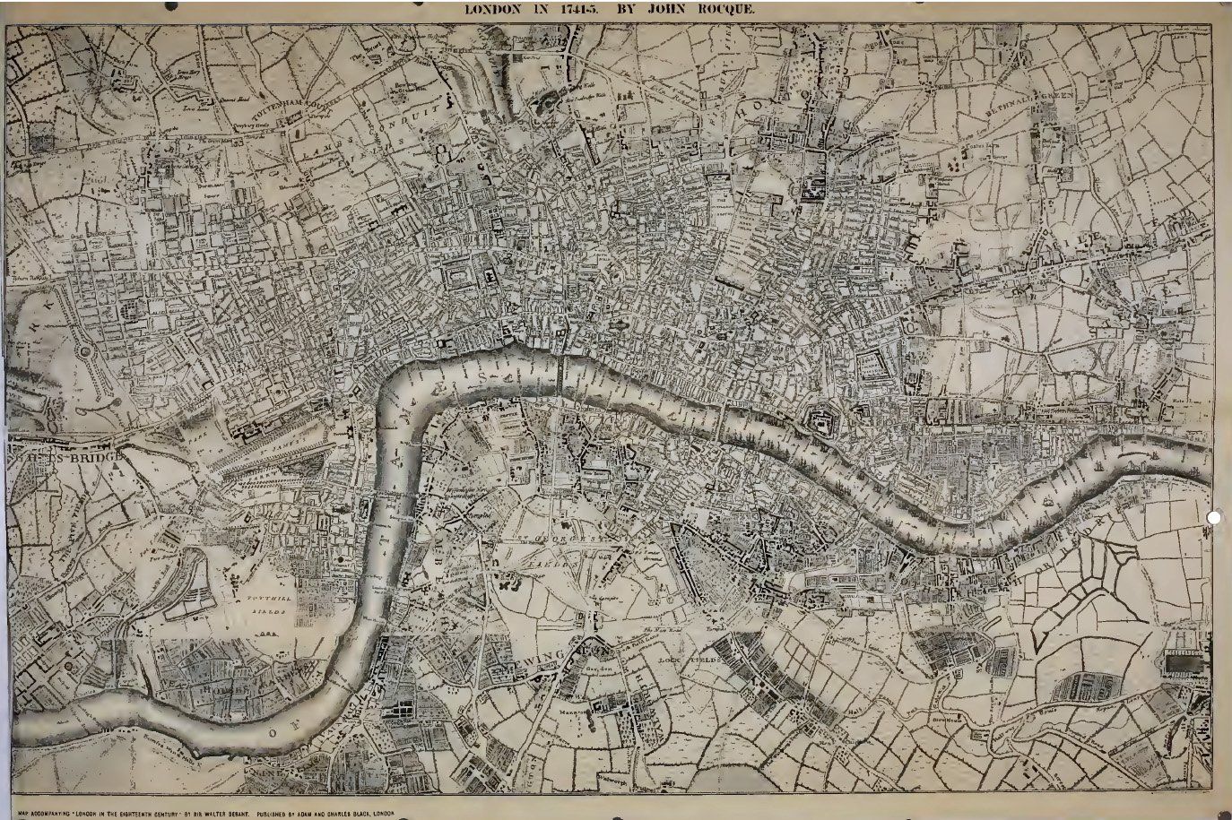
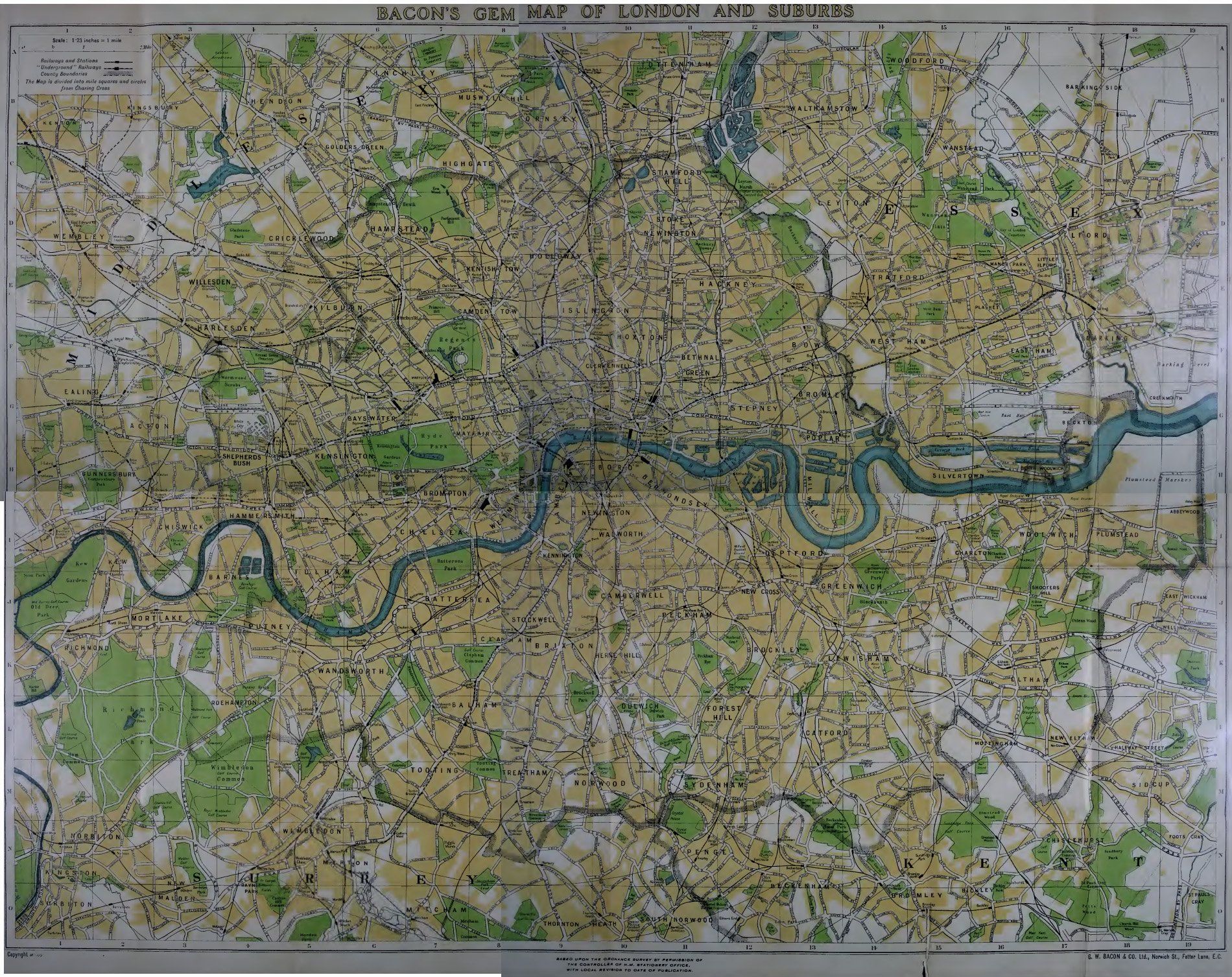
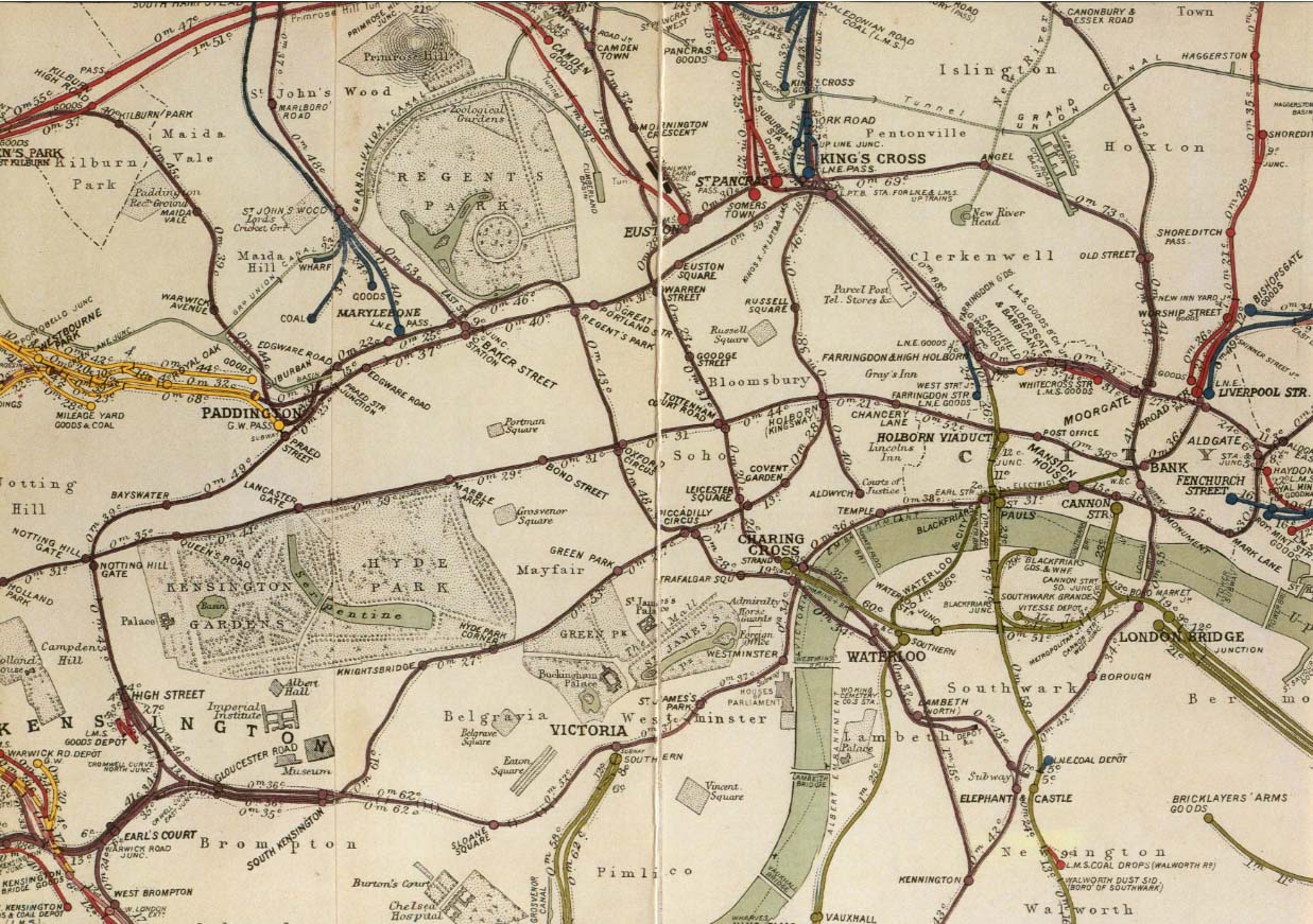
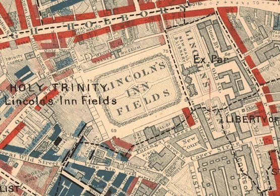
Booth's London Poverty Map 1888-9
A large file containing the twelve sheets covering London, as roughly defined by the LCC boundary, showing the quality of the inhabitants, separated into seven categories, from Upper Class to Lowest Class.
It also provides a very detailed map of London at that time. Click here to download.